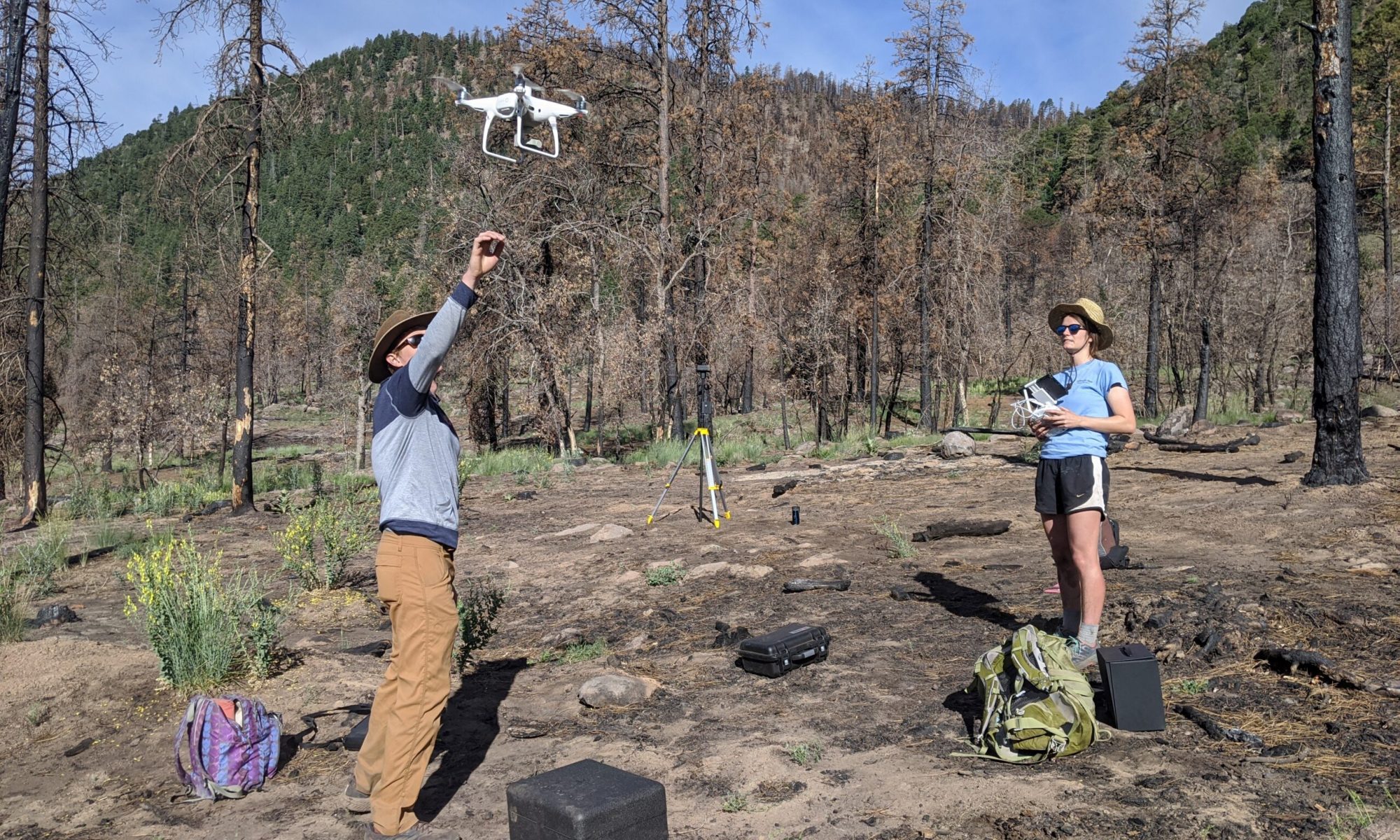
Graduate students in the GEODE lab have been using the lab’s new fleet of “unmanned” aerial vehicles (UAVs) to bridge scales between satellite remote sensing and detailed field research. PhD student Katie Orndahl is using the instruments to estimate above-ground biomass of tundra ecosystem plant functional types. PhD student Laura Puckett is using UAVs to map burn depth in boreal forest wildfires in order to improve estimates of carbon released to the atmosphere via combustion of deep, carbon-rich soils. You can read more about the research potential of this UAV fleet here.

Ecological and Environmental Informatics Research