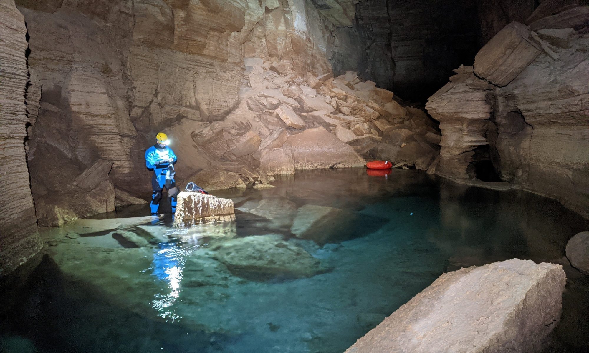
Blase LaSala, a PhD student in Dr. Teki Sankey’s Remote Sensing and Geoinformatics lab, is collaborating with Grand Canyon National Park to quantify how water travels from sinkholes on the Kaibab Plateau to springs in the canyon. This deep aquifer, which provides water to more than 5 million visitors annually and supports hundreds of endemic species, relies on the plateau’s snowpack for recharge. Quantifying snowmelt and water flow paths can inform the park about how climate change can impact groundwater resources and identify areas susceptible to contamination. Rather than estimating flow-path parameters, Blase is extracting them directly using lidar data and 3D models of the caves in the canyon.

Ecological and Environmental Informatics Research